Many of the labelled photos were donated by Katy Lightwood formerly from Ray White, Middle Park.
-
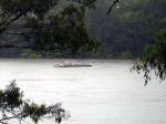
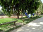
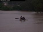
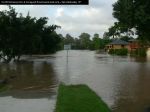
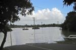
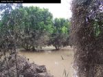
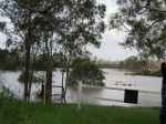
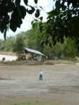
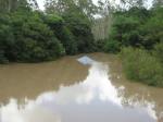
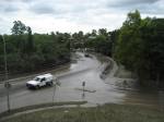
- Jindalee Boat Ramp [photo Katy Lightwood]
-
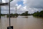
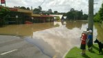
- Pantheon St, Jindalee [Shane Horswill]
-
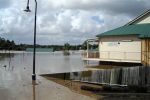
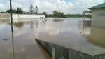
- Jindalee Bowls Club [photo G & L Burton]
-
- Pantheon St, Jindalee [photo Shane Horswill]
-
- Jindalee Bowls Club [photo G & L Burton]
-
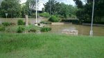
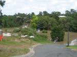
- Mt Ommaney Bushland Reserve after flood
-
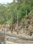
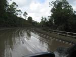
- Wacol Station Road – [SM/CSHSoc]
-
- Bangalee & Jindalee Sts, Jindalee [photo Geoff Shera]
-
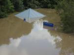
- Flood Barge 11/1/2011 [CDH/CSHSoc]
-
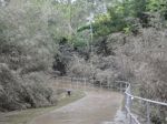
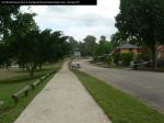
- Walkway Kooringal Drive, Jindalee [photo Don Gordon]
-
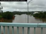
- Cnr Summit Place & Westlake Drive – peak
-
- Jindalee Bowls Club [photo G & L Burton]
-
- Jindalee Bowls Club [photo G & L Burton]
-
- Intersection of Dandenong Rd and Arrabri Ave Fire station on the left, Mt Ommaney Shopping Centre ahead [photo Shane Horswill]
-
- Jindalee Bowls Club [photo G & L Burton]
-
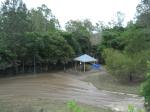
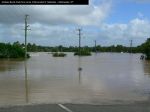
- Jindalee Boat Ramp Park 31/1/2011 [photo CDH/CSHSoc]
-
- Kooringal & Burrendah Rds, Jindalee [photo Geoff Shera]
-
- Wacol Station Road – [SM/CSHSoc]
-
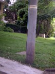
- Flood mark pole – 1974 line above [photo CDH/CSHSoc]
-
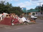
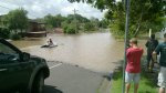
- Jindalee central trading again [photo Don Gordon]
-
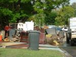
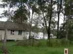
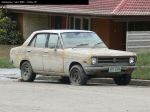
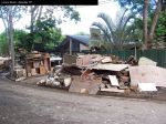
- Lower level losses [photo Don Gordon]
-
- Jindalee Bowls Club [photo G & L Burton]
-
- 13-1-2011 at about 7.30 am from overpass bridge near the Homemaker Centre, looking back across the golf course towards to high school. [photo D. Jones]
-
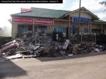
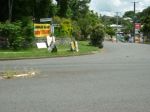
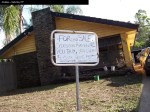
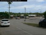
- Centenary Real Estate Office [photo Katy Lightwood]
-
- Jindalee Boat Ramp Park [photo CDH/CSHSoc]
-
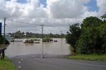
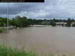
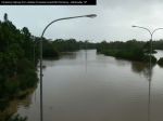
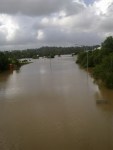
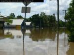
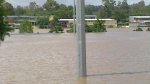
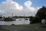
- Westlake 10/1/2011 [CDH/CSHSoc]
-
- Jindalee Bowls Club [photo G & L Burton]
-
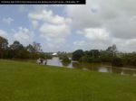
- Rocks Riverside Park [photo Don Gordon]
-
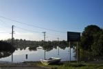
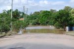
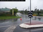
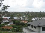
- Westlake Drive

-
- 13-1-2011 at about 7.30 am from overpass bridge near the Homemaker Centre, looking back across the golf course towards to high school. [photo D. Jones]
-
- Jindalee Bowls Club [photo G & L Burton]
-
- Westlake 10/1/2011 [CDH/CSHSoc]
-
- Jindalee Bowls Club [photo G & L Burton]
-
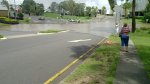
- Yallambee Rd to Curragundi Rd intersection [photo Shane Horswill]
-
- Centenary & District War Memorial Gardens, Dandenong Road, Mt Ommaney [photo Shane Horswill]
-
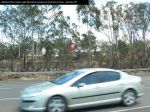
- Centenary Highway [D. Carmichael]
-
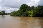
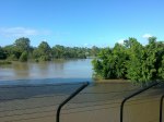
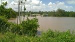
- Brisbane River from Centenary [photo Katy Lightwood]
-
- Wacol Station Road – [SM/CSHSoc]
-
- Looking to Jindalee State School across Jindalee Jags Sports Oval [photo Shane Horswill]
-
- Wacol Station Road – [SM/CSHSoc]
-
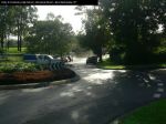
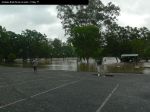
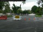
- Summit Place 22/1/2011
-
- Looking towards Westlake Drive
-

- Jindalee Bowls Club [photo G & L Burton]
-
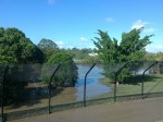
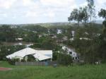
- Mount Ommaney Bushland Reserve
-
- Rocks Riverside Park [photo Don Gordon]
-
- Jindalee State School across Jindalee Jags Sports Oval [photo Shane Horswill]
-
- Looking towards Westlake Drive & Brisbane River
-
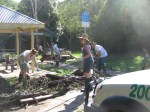
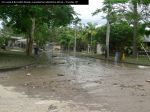
- Curragundi Road shops [photo Don Gordon]
-
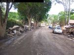
- Behind Curragundi Road shops [photo Don Gordon]
-
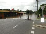
- All sports Shopping Centre looking towards Arrabri Ave from Kooringal Drive, Jindalee [photo Shane Horswill]
-
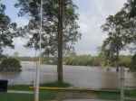
- Mt Ommaney Bushland Reserve picnic area – peak
-
- Pantheon St, Jindalee [photo Shane Horswill]
-
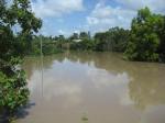
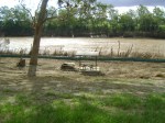
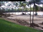
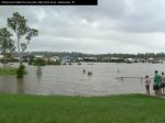
- Flooding across McLeod Golf Course
-
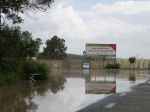
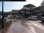
- Curragundi Road Shops [photo Shane Horswill]
-
- Jindalee Bowls Club [photo G & L Burton]
-
- All Sports Shopping Centre, Jindalee [photo Shane Horswill]
-

- All Sports Shopping Centre, Jindalee [photo Shane Horswill]
-
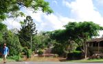
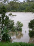
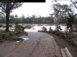
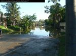
- Westlake Drive, looking west after flood
-
- Wacol Station Road – [SM/CSHSoc]
-
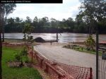
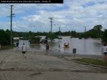
- Allsports shops 13/1/2011 [Geoff Shera]

Centenary Suburbs Historical Society Photo Gallery by Centenary Suburbs Historical Society is licensed under a Creative Commons Attribution-NonCommercial-NoDerivs 3.0 Australia License.
Based on a work at www.cshsoc.org.au.
