The images in these Galleries are provided courtesy of descendants of local pioneers, State Library of Queensland, Brisbane City Council and Women’s Historical Society. They date from 1860s to 1950s. More information on the 19th century subjects can be found in our publications. See books page.
-
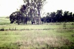
- Amazon Place foreground, east toward Windermere 1966
-

- Coolooie Farm from Sinnamon Road area across DFO car park toward Centenary Quays and river

-

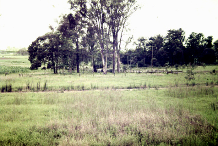
- From 17 Mile Rocks Rd toward Fig Tree Pocket
-
- From Avondale, Sev. Mile Rocks Road, toward river ca early 1940s

-
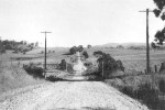
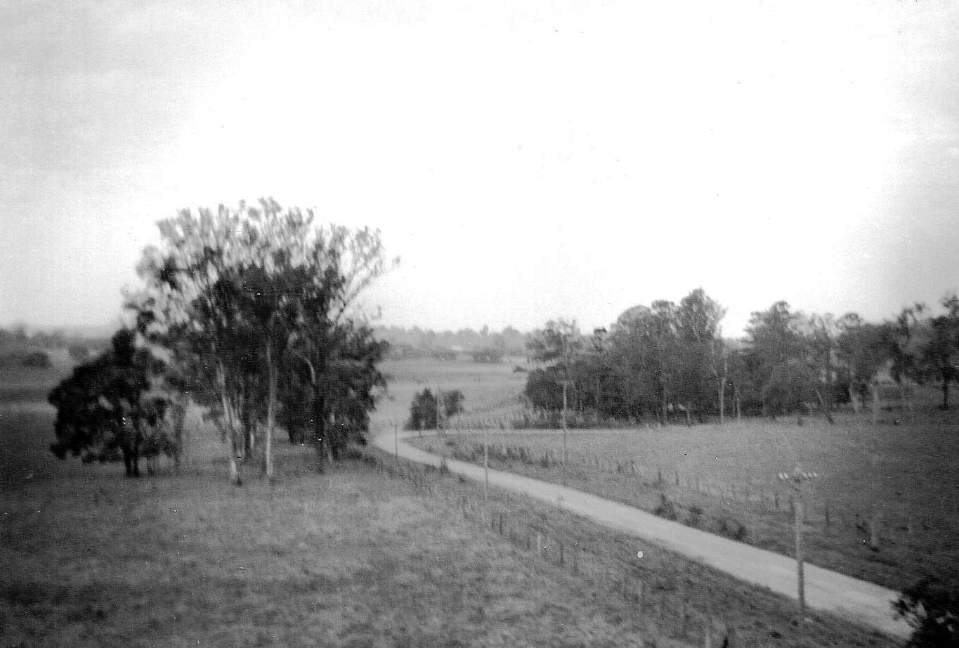
- From Sinnamon Rd outside DFO toward Jindalee

-
- From Timbarra Cres Jindalee toward DFO & Goggs Rd shopping precinct

-

- Gully, Jindalee Park 1950s

-
- Looking west toward Jindalee from DFO approx. (1950s)

-

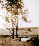
- Mouth of Jindalee Creek, 1960

-
- Opposite Jindalee Hotel north-east toward Windermere and Fig Tree Pocket

-

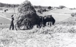
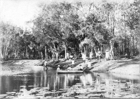
- Picnic at Ben Sinnamon’s (gully between 17 Mile Rocks and Oldfield Rds)

-
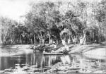
- Picnic spot B Sinnamon land (gully between 17 Mile Rocks and Oldfield Roads)
-
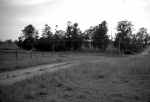
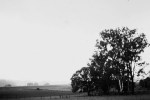
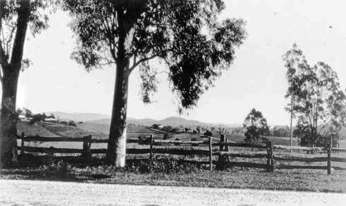
- Post and Rail fence and scrub Goggs Rd looking toward corner Goggs and Sinnamon Road

-
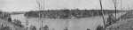
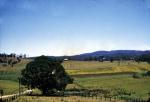
- River from Mt Hominy
-

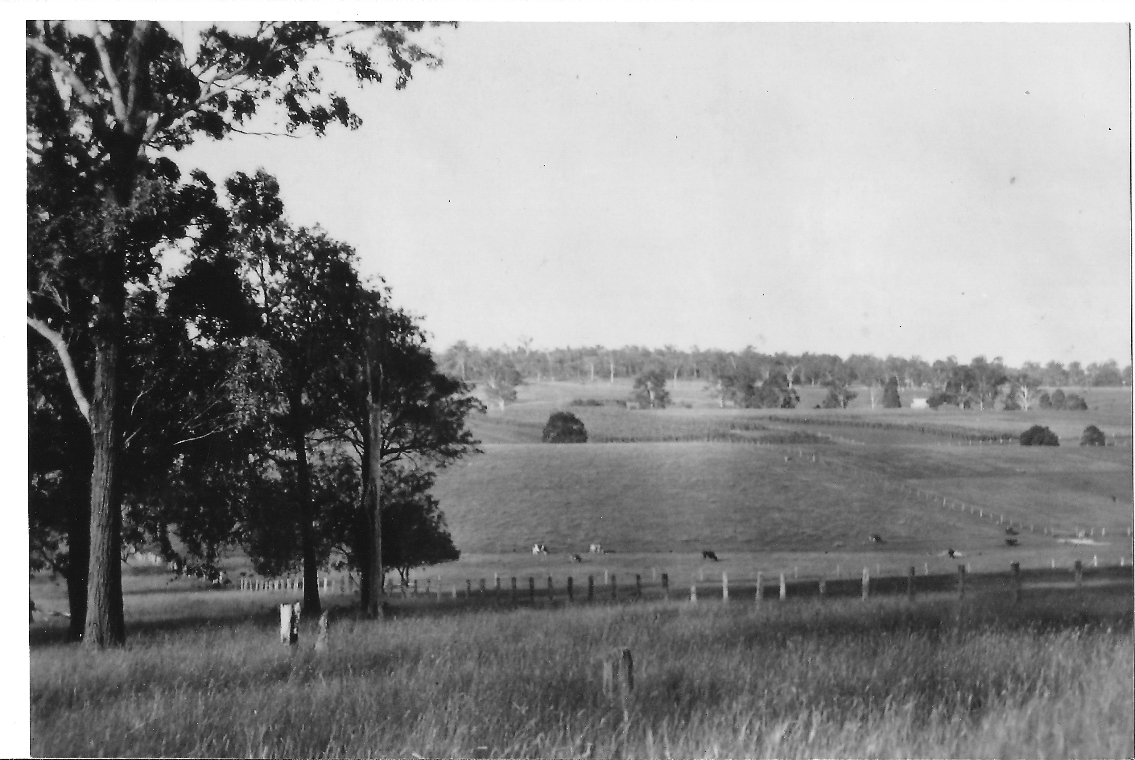
- River from Mt Ommaney ca 1920s-30s

-
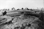
- Round Hill Farm – from Jindalee Ck near Brisbane River toward Timbarra Cres. Jindalee – Belz family
-

- Sinnamon-Goggs Roads intersection, pre-development
-

- View from corner Goggs & 17 Mile Rocks Rds to Jindalee 1950s
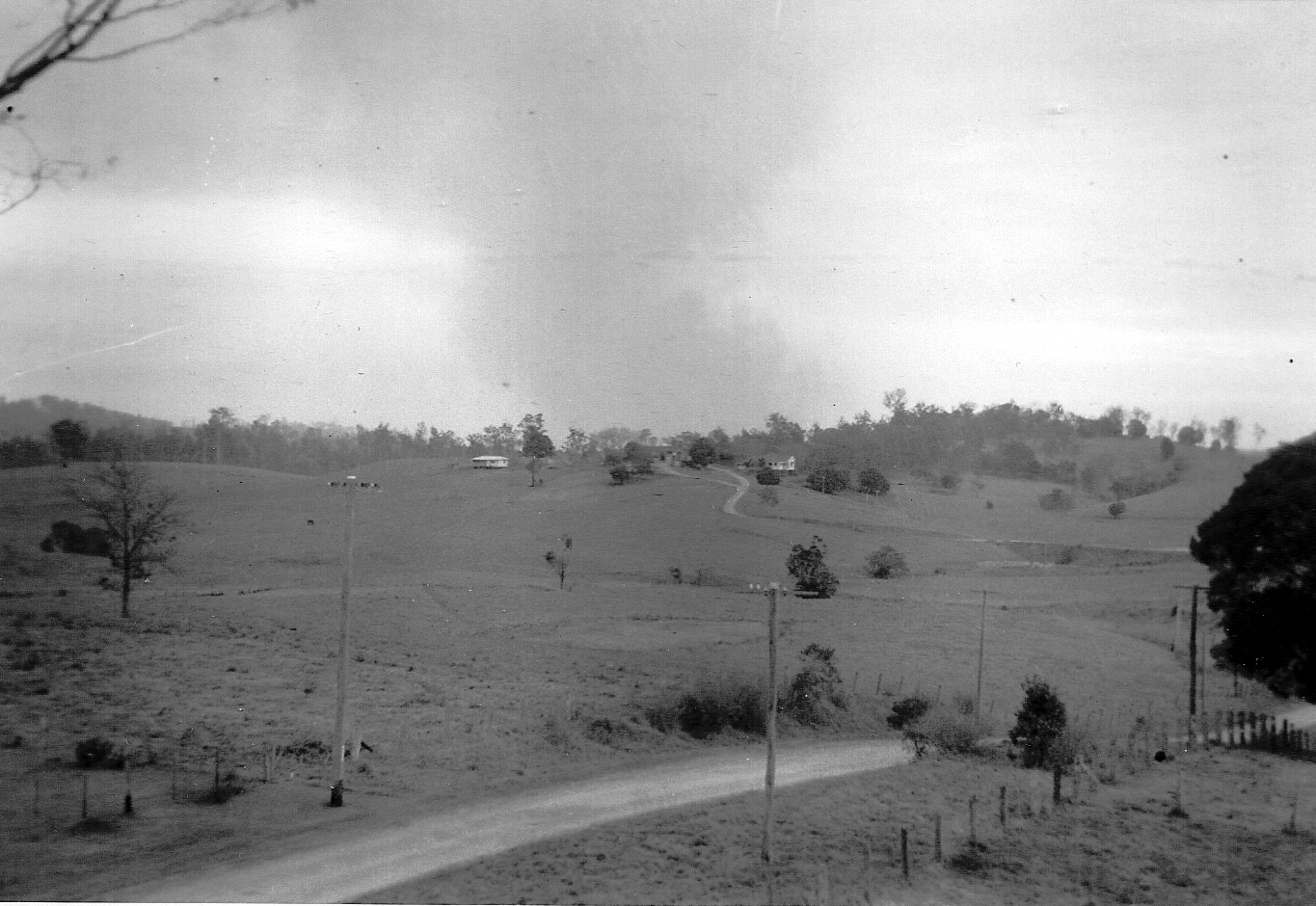
-

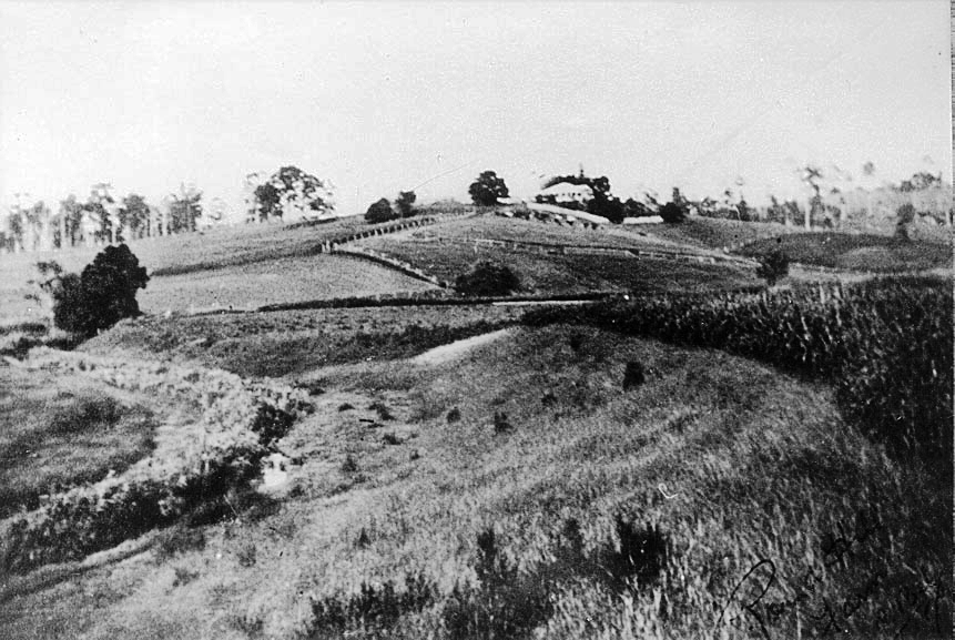
- Looking west towards Belz-Carr homestead, now Timbarra Crescent, Jindalee 1960 [CSHSoc/MG]

Centenary Suburbs Historical Society Photo Gallery by Centenary Suburbs Historical Society is licensed under a Creative Commons Attribution-NonCommercial-NoDerivs 3.0 Australia License.
Based on a work at www.cshsoc.org.au.
